Avon 414 Acres Rangeley Road
Avon, ME 04966
Franklin County, Maine
Ranch Description
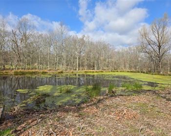
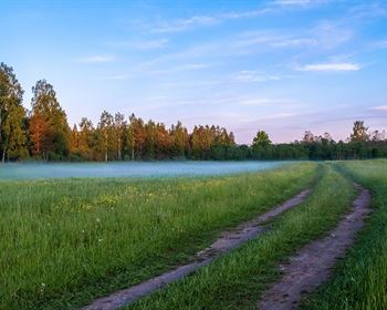
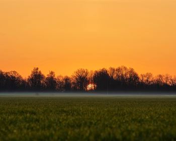
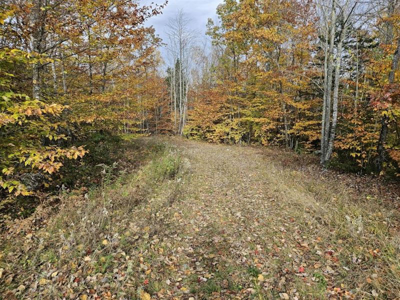
Classic western Maine mountain lot with approximately 6,000' of frontage on Mt. Blue Stream And amazing views of the surrounding mountains including Mt Blue, Mt Abraham & Saddleback Mountain in the distance and Spruce, Day & Bean mountains close by. The improved access road gets you off Route 4 angeley Road and into the property. The topography varies from extremely steep along the banks of Mt Blue Stream to rolling topography in the interior portions reaching an elevation of just over 940'. Plenty of wildlife signs and recent cutting have created forest edges where wildlife can thrive. Mt Blue Stream, originating from Mt Blue Pond, affords some great fishing for wild Brook Trout. The setting along Mt Blue Stream, although quite steep in places, is amazing and very picturesque. Most of the lot has been harvested leaving behind vigorous stands of young growing trees along with mature well-wooded areas between the harvested sections. This desirable tract is located less than 15 miles from Farmington and just under 30 miles from Rangeley. Farmington, home to the University of Maine at Farmington, offers just about every amenity one would need. Rangeley, to the north, offers some of the best outdoor experiences found in northern New England. There is just over one mile of frontage on Route 4 with power. Outdoor activities nearby include fishing and recreating on the Sandy River, Atv trails and of course snowmobiling.
Sandy River, just on the other side of Route 4 from this property offers good paddling and some good sections of whitewater rapids. From the nearby town of Strong at Devil's Elbow along Route 4 is a great location to start an 11-mile paddling journey thru several Class II rapids on your way to Farmington. The historic Fly Rod Crosby 45-mile hiking trail is nearby and steeped in history of the famous fisherwoman and Maine' first registered guide, Cornelia Fly Rod Crosby.
The 8,000-Acre Mouth Blue State Park is nearby offering miles and miles of hiking trails, snowmobiling, snowshoeing, cross-country skiing and access to Webb Lake. Mount Blue is just over 3,000' in elevation.
Map R4 Lot 14 IS in Tree Growth. Taxes are approximately per year.
Note The Subject Property Includes Tax Map R11 Lots 5 & 7 And Tax Map R4 Lot 14. As Seen On Some Of The Maps Assoicated With This Iisting, The Area Labeled As Site Is 22.9 Acres And Is Planned To Be A Solar Farm. It Is Understood Only A Portion Of The 22.9 Acres Will Be Covered With Solar Panels. The 22.9 Acres Will Be Fenced. There Is A 60' Common Access Easement Over The Existing Access Road From Route 4 angeley Road To The Site. This Common Access Terminates Shortly After The Access Road Turns To The West. It Understood That Power Poles Will Be Placed Along The Access Road For The Solar Site And Will Be Owned By Cmp. This Should Allow The New Owner To Tap Into These Power Poles.
PROPERTY Directions From the intersection of Routes 145 South Main St and Route 4 Rangeley Road near the village of Strong, take Route 4 west for approximately 2.4 miles passing so-called Avon corners and Dustin Road to the access road on your left just past bridge over Mt. Blue Stream.