2410 135th St Sw
2410 135th St Sw : Aberdeen, SD 57401
Brown County, South Dakota
Ranch Description
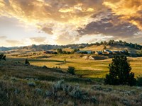
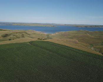
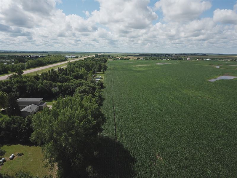
An exceptional opportunity to acquire 212.20 deeded acres, including 202.20 tillable acres of highly versatile land on the southern edge of Aberdeen, South Dakota. Strategically positioned with easy access to Highway 281, the property features a great mix of productive agricultural soils, all within close proximity to city infrastructure and growth corridors.
Land
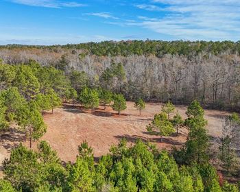
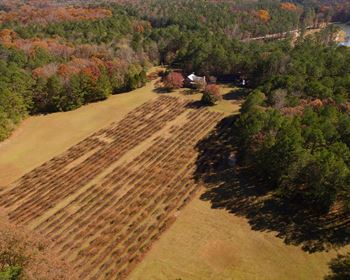
Currently utilized for agricultural production, this tract features an average Soil Productivity Index CPI of 52.8 and favorable topography conducive to row crop farming and potential drainage improvements. In addition to its strong agricultural value, the property presents significant investment upside with long-term development potential, further amplified by its proximity to Aberdeen. Notably, there are no U.S. Fish & Wildlife Service Usfws wetland easements encumbering the land.
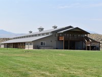
Improvements
Total Acreage 212.20 deeded acres
Tillable Acres 202.20 acres FSA reported Location Aberdeen Township, Brown County, South Dakota
Topography Gently rolling to flat 20.7 ft elevation variance Floodplain Classification 67.2 in Zone X outside the 500-Year floodplain Soil Productivity Index Weighted average PI of 52.8
Access Frontage Road with direct access to Highway 281
Roads Bordered by Melgaard Rd north and 135th St south both are county-maintained gravel roads
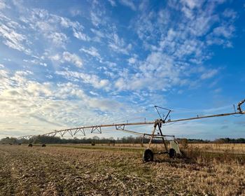
Utilities Nearby utility services available from adjacent developments
Agriculture
Primary Soil Types Williams-Noonan Loams - 62.0 Class IIe PI 68 Well-drained
Harriet Loam - 16.9 Class VIs PI 26 Poorly drained
Noonan-Miranda Loams - 7.0 Class IVs PI 42 Mod. well-drained
Drainage Predominantly well to moderately well-drained profiles
Water/Mineral Rights & Natural Resources
FEMA Floodplain Classification
Zone X Minimal Risk 150.7 acres 67.2
Zone AE floodplain 43.19 acres 19.2
Zone X - 0.2 Annual Chance 30.55 acres 13.6 Topography & Elevation
Elevation Range 1,299.7 ft - 1,320.4 ft Usgs data
Standard Deviation 4.0 ft
Location
This 212.20 acre tract offers an exceptional balance of current agricultural utility, wildlife habitat, and future development prospects. Whether you're an operator expanding your footprint, an investor seeking long-term appreciation, or a developer with an eye on Aberdeen's growth, this property delivers a rare combination of versatility, value, and location.
More Ranch Details
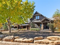
More Ranches from Hayden Outdoors
 5,582 AC : $29.9M
- 1,222 AC : $9.4M
- 558.3 AC : $1.7M
- 60 AC : $3.58M
- 114.7 AC : $2.5M
- 125.5 AC : $1.95M
- 591.3 AC : $20M
- 263.5 AC : $1.9M
- 7,074.5 AC : $14.15M
- New 28 AC : $7M
- 472.7 AC : $885K
- 251.5 AC : $950K