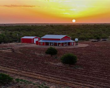
20 Acres Terlingua Ranch
Alpine, TX 79830
Brewster County, Texas
Ranch Description
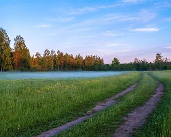
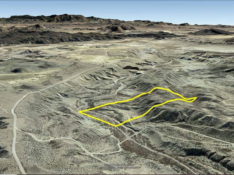
20 Acres in the world-famous Terlingua Ranch. This property has a creek bed crossing the Northern End of the property and has a hilly terrain. Terlingua is famous for its annual Chili Cookoff and being right next to Big Bend National Park.
No restrictions and easy owner financing are offered, everyone qualifies. Zero percent interest loan, no credit check, and no pre-payment penalties. Just pay the doc fee and we'll send you a link to sign the contract online.
Cash: Finance: - doc fee / down & 104 payments of Loan Payment, Service Fee, property tax)
Note: Down Payment & Doc Fee can be paid using credit or debit card. Monthly payments must be paid using ACH - checking account/routing number.
Do Not Pay Doc Fee/Down Payment Until You Have Done Your Research And Your Questions Have Been Answered
Acres: 20
Property Id: 26581
Legal Description: The West One-half (W/2) of the Northeast Quarter (Ne/4) of the Southeast Quarter (Se/4) of Section Eleven (11), Block G-12, G.C.&S.F. Ry Co. Survey, Brewster County, Texas, being 20 acres more or less. Said tract also known as Terlingua Ranch Tract No. 2289.
Elevation: 3,069 ft.
Topography: Sloping
Roads: Dirt Road Maintained by Poatri
Utilities: Off-Grid
Access: Dirt Road
Note: Buyers will not be able to user the owner discount at Poatri headquarters until the loan has been paid off and the deed transferred.
This is off-grid land. There are no city utilities here. You can use batteries, a generator, solar panels or windmill for electricity.
For accesss to water, you can bring it with you, drill a well, have water trucked in and delivered, or set up a rain catchment system.
At the Poatri Headquarters - “Our office sells potable and non-potable water for 8 cents a gallon every day from 9 am to 3 pm.”
State: Texas
County: Brewster
Property Tax: Poatri dues per year for road maintenance and other amenities.
Nearest Town: Alpine, Tx
Gps Coordinates:
Nw: 29.414567°, -103.640636°
Sw: 29.410882°, -103.640550°
Se: 29.410958°, -103.638462°
Ne: 29.414614°, -103.638544°