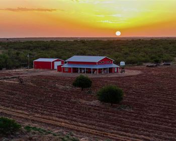
Kings Creek
Blacksburg, SC 29702
Cherokee County, South Carolina
Ranch Description
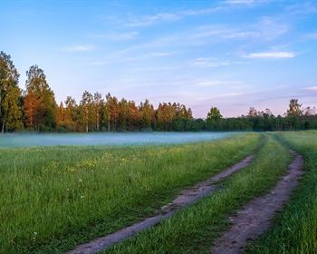
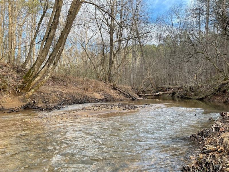
Kings Creek Tract is a great wooded property set on broad rolling hills in eastern Cherokee County. Around 102 acres are covered with planted loblolly pine established in 2020. These trees are healthy and growing very fast. Older areas of pine were planted in 1983 and 1990, covering about 69 acres. About 25 acres of mixed hardwood forest are scattered across slopes and drainageways, mostly near Kings Creek. Kings Creek is a large stream that flows out of the nearby national park and crosses, more or less, through the middle of the tract.
The property has great access with multiple connections to public roads. Beam Road is a small, paved road that ends as it enters the north side of the tract. Another road wraps around the tract's south side. The eastern portion of this small, rural road is gravel and named Ewaldz Road. It changes to pavement and is called McSwain Road as continues to the west. Established woods roads give good access to much of the land.
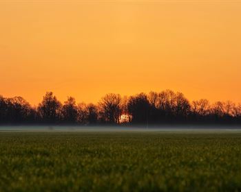
There are many potential sites for a home or cabin with gentle slopes and easy access. Broad, gentle slopes could be cleared for large food plots or pastures. Soil map for septic drain field potential looks favorable in multiple areas. Electric lines are available along the roads. There are no public water lines nearby.
A small, unmaintained cemetery lies against the property line near the northwest corner of the tract. This is shown on some maps as Stewart Cemetery. The site is covered by mature hardwood and occupies less than half an acre.
The property is about 3 miles by road from exit 106 on I-85. The little town of Blacksburg is about a 10-minute drive away. The tract is about 14 miles from Gaffney, 32 miles from Rock Hill, 35 miles from Spartanburg, and 44 miles from Charlotte. All distances are approximate road miles to the center of town.
The property does not have an address. Beam Rd, Blacksburg, SC 29702 can be used for GPS directions. Beam road dead-ends into the north side of the tract. See attached location map. County tax map is 213-00-00-014.000.