Mining Land in Cowboy Country
Reinhart Lane : Golconda, NV 89414
Humboldt County, Nevada
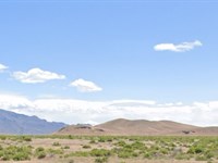
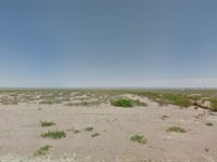
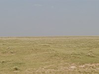
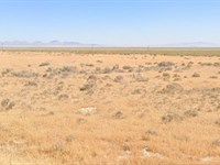
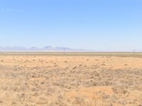
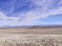
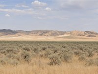
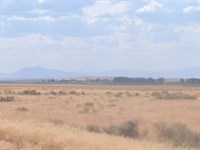
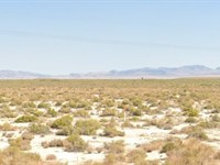
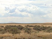
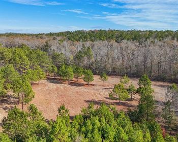
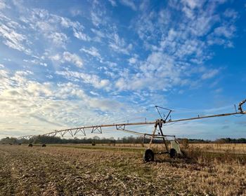
Ranch Description
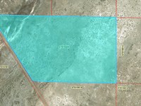
This 38.55 Acre Parcel is adjacent to 480 acres of BLM Land (to the North) and situated roughly 28 miles from Dwight D. Eisenhower Hwy (80) and the town of Golconda in the Southeastern Corner of Humboldt County, Nevada. This parcel was recently surveyed and staked in 2021 by Desert Mountain Surveying and includes 30' easements along the perimeter.
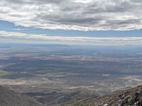
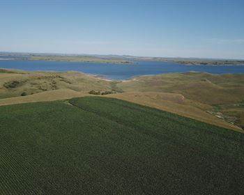
Located in Northwest Nevada, Humboldt County offers wide open spaces, beautiful mountains and valley vistas and a rich and fascinating history. Own your piece of the American west and enjoy all that this area has to offer, including Mining, agriculture, off road adventures, hiking, mountain biking and Hunting. Upland birds, record game and premium fishing are all nearby in the heart of Cowboy Country.
Despite the rural location of this parcel, it is only 25 miles from the town of Golconda and 41 miles from Winnemucca; providing close proximity to shopping, dining as well as casinos and gaming. For just $1.00 down and low monthly payments, you can own your piece of all that Winnemucca, Nevada has to offer.
Parcel Snapshot:
Apn: 07-0659-04
Gps Marker: 41.032883, -117.067404
Legal Description: Ne4ne4 Sec1 T36n R43e
Land Use Code: 100 - Vacant- Unknown/Other
Zone: M-3 Open Land Use District
Size: 38.55 Acres
Terrain: Varied
Tax District: 4.0 - Golconda Fire District
Power / Water: Rural / Off Grid
Property Taxes: $58.55/Yr
Hoa Fees: N/A
Be sure to reference L40062-1 in any correspondence.
$1 down payment and $199 document fee for lot L40062-1 in Nevada. Your welcome packet, contract, and payment coupon book for your monthly payments will be sent to the shipping address you provide. (Please note that we do charge a shipping fee.)
Ranch Maps & Attachments
Directions to Ranch
Head northeast on E 2nd Street (also known as State Route 289).
Continue onto Reinhart Lane (State Route 795) and cross the Humboldt River.
After crossing the river, Reinhart Lane becomes a dirt road.
Proceed northeast on this dirt road, which roughly follows the Humboldt River.
Continue for approximately 8 miles until you reach the vicinity of the coordinates 41.032883, -117.067404.
We recommend using GPS coordinates for best accuracy when visiting. Always inspect the property before purchase.
More Ranch Details
Ranch Price History
More Ranches from Ross Amato
 10 AC : $17K
- 10 AC : $9K
- 35 AC : $25K
- 39.1 AC : $20K
- 38.1 AC : $20K
- 37.4 AC : $20K
- 39 AC : $20K
- 39.5 AC : $20K
- 37.8 AC : $20K
- 37.8 AC : $20K
- 63.9 AC : $40K
- 39.7 AC : $20K