Rogers Peak Forest
Rochester, VT 05767
Windsor County, Vermont
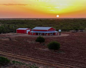
Ranch Description
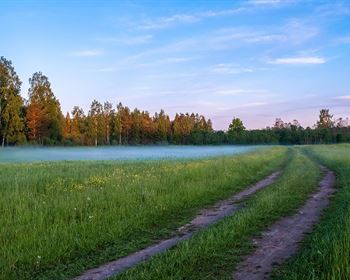
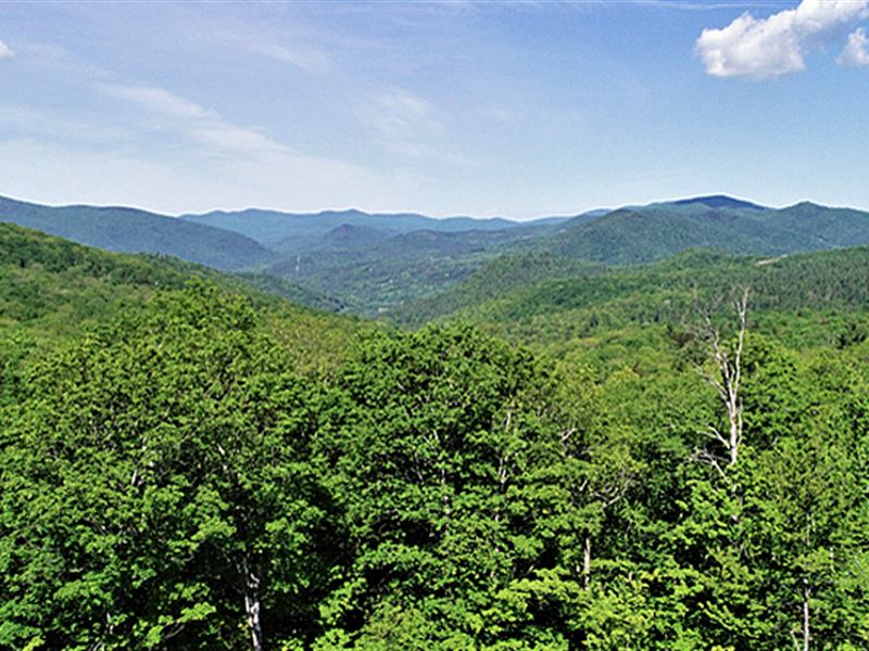
The Rogers Peak Forest is in central Vermont in the Town of Rochester, high on the western slopes of the Northfield Mountain Range. The land's high elevation offers variable home building options with fine views of the Green Mountain National Forest. The property is defined by a high elevation ridge that maintains an elevation of +/-2,100' and spans 1.5 miles from Rogers Peak to the eastern boundary. Some potential sites have the possibility of being constructed on this ridgetop location, expanding the viewshed and giving way to southern exposure. The Village of Rochester is close by and offers a full array of small-town amenities. Killington ski resort is a short scenic commute to the south.
Location
The land is located in Rochester, with the property situated at the Town's southeastern section on the western slopes of the Northfield Range. The Bethel Mtn. Road (just north of the land) is the main access road that crosses the Northfield Range and connects Bethel & Randolph Villages (10 miles to the east) to Rochester Village. These towns offer a variety of stores and basic services, including Chandler Center for the Arts, Gifford Medical Center, and Vermont Technical College.
The village of Rochester, situated in the Upper White River Valley, is just 6 miles down the road, a border town of the Green Mountain National Forest, with a mix of small shops including a hardware store, a bookstore, café, a full-service mountain bike shop, several restaurants, and a grocery store. Just down the road from the land's Route 100 frontage is the Green Mountain National Golf Course. Killington Ski Resort is 19 miles to the south. Hartford, Connecticut, is 3 hours south, and Boston is 2.5 hours southeast.
Access
Access is provided from three separate roads. The northern end of the land is accessed from the end of South Hollow Lane, where Legal Trail 3 starts and runs +/-2,000' to the property boundary. This access road is suitable for high clearance vehicles and could be upgraded to become a driveway with town approval. Electric power is at the beginning of Legal Trail 3. This section of the property has the highest elevation and offers the best views from potential building sites.
The south-central portion of the land is accessed by Jerusalem Hill Road, which is a Class 3 road (town maintained) to within 3,000' from the property. The last section of the road is Class 4 (not town maintained); however, this road is drivable with a vehicle. The closest electric power to this section of the land is +/-1,830'. This section of the property offers a quiet, private building site with local views.
The western end of the property has +/-1,340' of road frontage along Route 100. This frontage holds opportunities for future forest management activity. Electric power and phone are available at this location; however, steep terrain and a power line minimize the potential for a building site in this area.
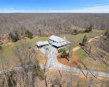
Site Description
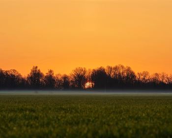
The property covers a large landscape that spans nearly 2.7 miles from east to west and on average.8 miles north to south. This considerable footprint offers various potential off-grid building sites from its road access points. The property is located high on the western slopes of the Northfield Range with an elevation of 2,140' at the land's northern end (off the South Hollow Land access point) falling to a low elevation of 800' along the Route 100 access (where the White River is across the road).
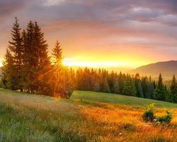
The views with tree clearing from potential building sites off the South Hollow Lane access point are exceptional, covering the Green Mountain National Forest to the north. It's possible to place a building site on the ridge improving the view and gaining southern exposure. The Jerusalem Road access area also offers a potential building site where the existing access is more developed with electric power being closer to the site. The terrain in this area is gently sloping with southern exposure.
The property is defined by a high elevation ridge that maintains an elevation of +/-2,100' and spans 1.5 miles from Rogers Peak to the eastern boundary. This long ridge is an interesting landscape to explore and offers solid conservation value. Nearly all of the land has well-drained, productive soils. A branch of Breakneck Brook originates at the land's center, eventually draining into the White River, 2 miles downstream. Being a high elevation stream, the water runs fairly low during the dry summer months.
Timber
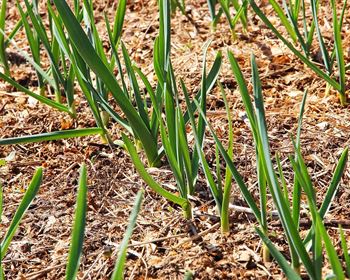
The forest resource consists of a mix of young +/-20 acre stands and with areas consisting of a mix of 70- and 20-year-old trees. Species are predominately northern hardwoods (The Maples & Birches and beech), with red spruce and miscellaneous softwoods limited to areas of shallow or poorly drained soils.
The property's forest management plan delineates seven stands, all of which are northern hardwood types. Stand 6 covers the area that was harvested in 2000 as a result of the Great Ice Storm of 1998. All other stands are pole and small sawlog-sized stands with stands 2, 4 and 5 thinned/harvested in 2016-2017 per the management plan.
Given the surrounding landscape includes mountainous and many large ownerships, large mammals such as black bears, moose, coyote, fisher cats, and white-tailed deer are common.