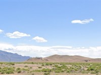
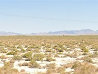
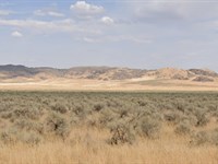
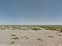
40.42 Acres in Humboldt County, NV
Dwight D Eisenhower : Battle Mountain, NV 89820
Humboldt County, Nevada
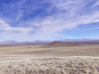
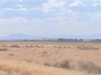
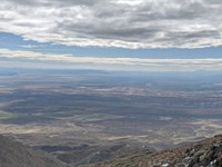
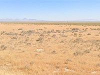
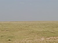
Ranch Description
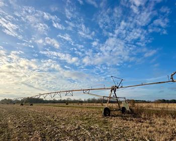
This 40.42 acre parcel is situated roughly 28 miles from Dwight D. Eisenhower Hwy (80) in the South Eastern Corner of Humboldt County, Nevada. Roughly 35 miles from the town of Battle Mountain.
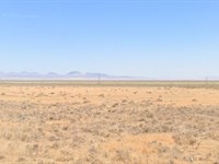
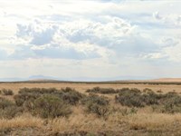
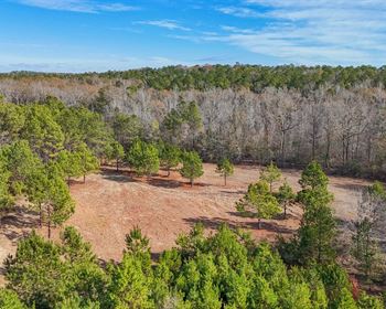
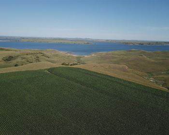
Located in North West Nevada, Humboldt County offers wide open spaces, beautiful mountains and valley vistas and a rich and fascinating history. Own your piece of the American west and enjoy all that this area has to offer, including Mining, agriculture, off road adventures, hiking, mountain biking and Hunting. Upland birds, record game and premium fishing are all nearby in the heart of Cowboy Country. This parcel is located within Hunt Unit 051.
Despite the rural location of this parcel, it is only 25 miles from the town of Golconda and 41 miles from Winnemucca; providing close proximity to shopping, dining as well as casinos and gaming. For just $1.00 down and low monthly payments, you can own your piece of all that Winnemucca Nevada has to offer.
How owner financing works:
Dollar Land Store offers seller financing for qualified buyers seeking an alternative to traditional bank loans.
• Down payment required to secure the parcel ($1 + document fees).
• Fixed monthly payments for the duration of the loan term
• No bank involvement and no credit check
• No prepayment penalty
The property remains in the Seller's name during the financing term. Once the balance is paid in full, the deed is prepared and recorded transferring ownership to the Buyer. All financing terms, fees, and conditions are fully disclosed in the purchase agreement prior to completion of the sale.
Be sure to reference L10870-1 in any correspondence.
$1 down payment and $199 document fee for lot L10870-1 in Nevada. Your welcome packet, contract, and digital payment coupon book for your monthly payments will be sent to the shipping address you provide. (Please note that we do charge a shipping fee.)
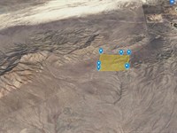
Ranch Maps & Attachments
Directions to Ranch
Driving Directions:
Start in Battle Mountain, NV
Head east on Front Street (State Route 304 / I-80 Business Loop) toward the entrance ramp for Interstate 80 East.
Merge onto I-80 East
Take the on-ramp for I-80 East toward Elko.
Continue on I-80 East for approximately 40 miles
Stay on I-80 East until you reach Exit 216 (Valmy Exit).
Take Exit 216 for Valmy
After exiting, turn right onto the local access road.
Continue south for about 1.5 miles
Follow the road toward the coordinates. The destination (40.9930, -117.1100) will be along this stretch.
More Ranch Details
Ranch Price History
More Ranches from Ross Amato
 10 AC : $17K
- 37.8 AC : $20K
- 39 AC : $20K
- 10 AC : $9K
- 37.4 AC : $20K
- 39.5 AC : $20K
- 37.8 AC : $20K
- 39.1 AC : $20K
- 35 AC : $25K
- 38.1 AC : $20K
- 653.3 AC : $249K
- 39.7 AC : $20K