40 Ac, Near Rt 66, Navajo County
Holbrook, AZ 86025
Navajo County, Arizona
Ranch Description
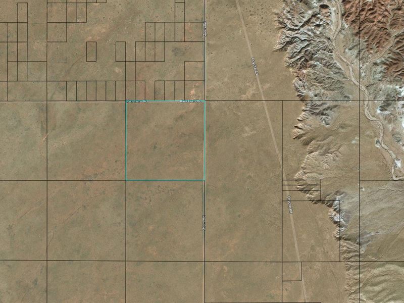
Located less than 2 Miles from Historic Route 66 (Interstate 40), this 40-acre parcel is close to all that North Eastern Arizona has to offer. This parcel is accessible via Ranchero Rd and Sheri Rd and is roughly 10 miles from the city of Holbrook as well as the Petrified Forest National park and Painted desert Indian Center; Desert exploration is right within reach. This property is also only 1.5 hours from Flagstaff and 2.5 hours from Grand Canyon National park.
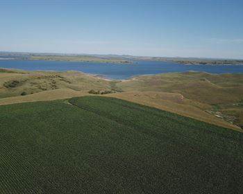
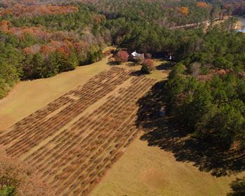
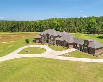
Things to do in Navajo County include Skiing, Cross Country Skiing, snowmobiling as well as Fishing, Hiking, Hunting and countless trails for Off-Highway Exploration. Photos are of General Area
Please reference property L204164-1 in all correspondence.
Parcel Snapshot
Gps Marker: 35.01138, -110.00419
Legal Description: Section 33,T19n,R22e:Ne4 Ne4. Out Of Abandoned Sun Valley Estates 1
Current Zoning: Vacant/Agricultural Land
Tax Classification: 0300
Size: 40.00 acres
Terrain: Varied
Power/Water: Rural / Off-Grid
Property Taxes: Fees: N/A
Finance Terms
Purchase Price: Rate: (8%)
Loan Term: 10 Years
Monthly Payment: Due Today
Down Payment: Fee: Today: Payment
Land Payment: Tax: Assoc. Fees: N/A
Monthly Servicing Fee: Monthly Payment: Price: + Taxes and down payment and document fee for lot L204164-1 in Arizona. Your welcome packet, contract, and payment coupon book for your monthly payments will be sent to the shipping address you provide. (Please note that we do charge a shipping fee.)